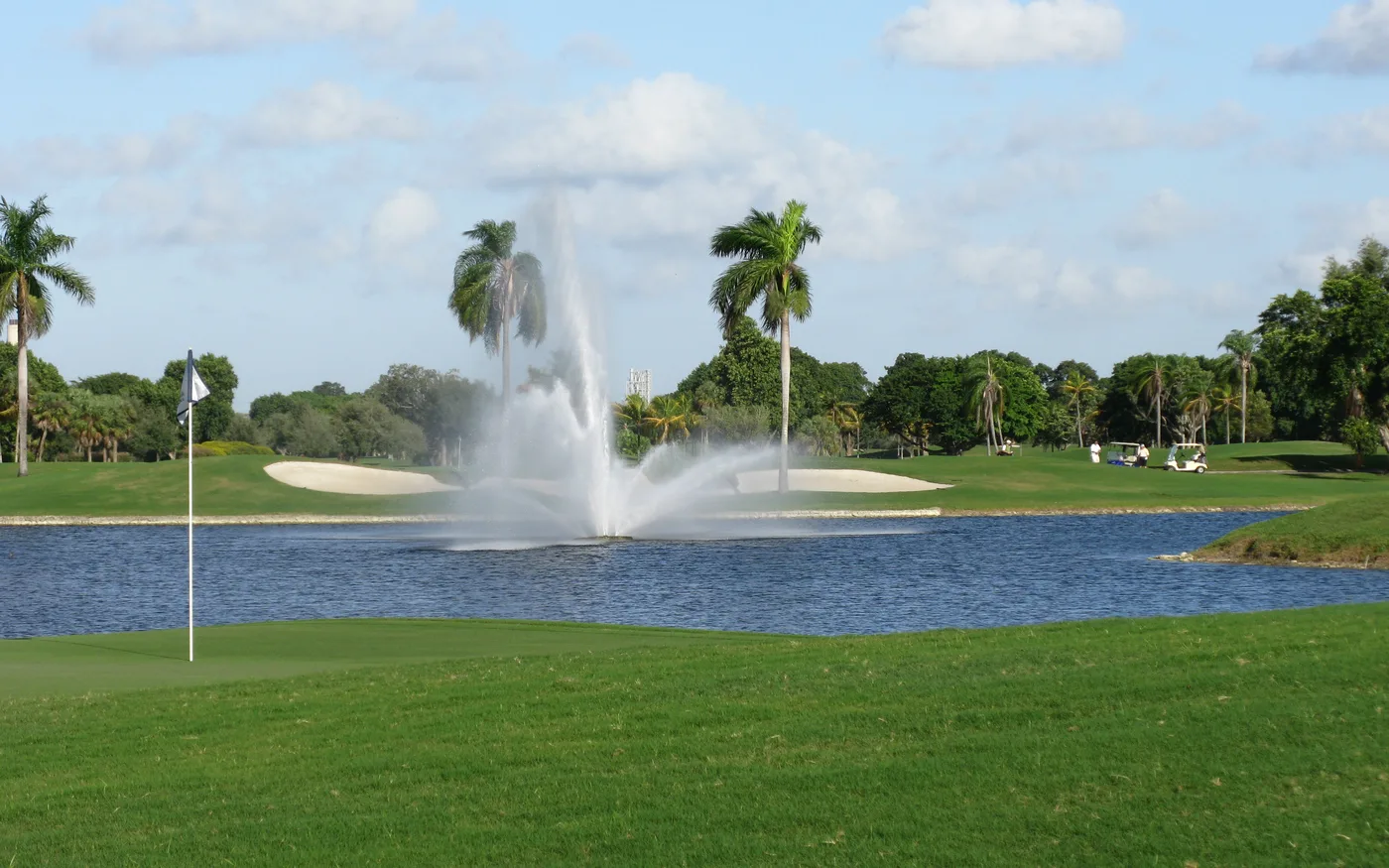
Doral Estates, around the Trump National Doral golf courses, is in ZIP 33178 and zoned for J.C. Bermudez Doral Senior High: 1,103 homes.
Last checked Oct. 8, 2026. Sources: the City of Doral’s community map and golf course layer, the Property Appraiser of Miami-Dade County’s parcel data, Miami-Dade County’s school attendance zone maps, the Florida Department of Education’s 2026 school grades, Zillow Research, Miami-Dade Transit and OpenStreetMap.
Doral Estates is the part of Doral between NW 87th and NW 97th avenues, from Doral Boulevard (NW 41st Street) north to NW 58th Street. Much of it is golf course: the city’s map shows the Doral Golf Course, about 451 acres, running through the middle of the city, and OpenStreetMap maps it as Trump National Doral, 4400 NW 87th Ave. The homes, mostly condominiums, townhouses and cluster homes from the 1980s and 1990s, line the fairways and lakes.
What this means for you
- Zoned high school: J.C. Bermudez Doral Senior High, for every home in the county’s zone map. Check your address in the district’s SchoolFinder.
- Home value: $553,694 in ZIP 33178 in August 2026, according to the Zillow Home Value Index.
- Nearest expressway: the Palmetto Expressway (State Road 826) at NW 36th or NW 58th Street to the east, or Florida’s Turnpike exit 29, NW 41st Street, to the west.
Part of our Doral neighborhoods guide.
Where it is
The edges on this page are Doral Boulevard on the south, NW 58th Street on the north, NW 87th Avenue on the east, where Downtown Doral begins, and NW 97th Avenue on the west. The city’s comprehensive plan says the land east of NW 87th Avenue between NW 48th and NW 41st streets was “formerly known as Doral Resort” and is now part of the downtown district.
The city’s community map names five residential communities here: Doral Estates, Gold Vue Estates, Doral Colony, Doral Fairways and Casper House. The county’s plat records use the same names: Goldvue Estates, Doral Colony, Doral Estates and Doral Estates Villas.
The Property Appraiser’s records list 1,103 homes: 58% condominium units, 30% single-family homes, including cluster homes, and 12% townhouses. Of them, 63% were built in the 1990s and 23% in the 1980s. All are in ZIP code 33178.
Schools
Every home in the area is in these zones in Miami-Dade County’s attendance zone map. Grades are the state’s 2026 school grades.
| Level | School | Address | 2026 grade |
|---|---|---|---|
| Pre-K to 8 | John I. Smith K-8 Center | 10415 NW 52nd St. | A |
| Middle (zone map) | Ruben Dario Middle | 350 NW 97th Ave., Miami | A |
| High | J.C. Bermudez Doral Senior High | 5005 NW 112th Ave. | A |
The county’s middle school map places all of Doral in Ruben Dario Middle’s zone; the K-8 center teaches through eighth grade. The SchoolFinder shows which applies to your address. More in our schools guide.
Home values
The typical home value in ZIP 33178 was $553,694 in August 2026, down 1.07% from $559,660 in August 2025, according to the Zillow Home Value Index. The index is a modeled typical value for the middle third of homes, not a sale price. ZIP 33178 covers most of Doral, so this is close to a citywide figure; Zillow’s index for the city was $543,159, down 1.16% on the year. More in our home prices guide.
Parks and trails
The golf courses are private, and the city’s parks list has no park inside this area. The nearest are:
- Morgan Levy Park, 5300 NW 102nd Ave., to the west: turf soccer fields, tennis, pickleball, sand volleyball and a community center. Phone: 305-482-9590.
- Downtown Doral Park, 8395 NW 53rd St., to the east.
More in our parks and trails guide.
Getting around
- Expressways: the Palmetto Expressway (State Road 826) has interchanges at NW 36th and NW 58th streets to the east. Florida’s Turnpike exit 29 is at NW 41st Street to the west, by the exit numbers in OpenStreetMap.
- City Hall: about 2.1 miles from the middle of the area by road.
- Airport: about 8 miles to Miami International Airport. Both are distances measured on the OpenStreetMap road network with the OSRM routing engine, not drive times.
- Doral Trolley: Route 1, the Crosstown Connector, stops at Golden View Estates, The Greens, Doral Plaza and the Doral Center at NW 97th Avenue and NW 41st Street, according to Miami-Dade Transit’s schedule data. See the city’s trolley page.
- Metrobus: route 87 (Medley-Dadeland North) runs along NW 87th Avenue on the east edge.
More in our getting around guide.
Groceries and everyday stores
From OpenStreetMap:
- Walgreens, NW 97th Avenue at NW 41st Street
- Publix, 9755 NW 41st St., just west of NW 97th Avenue
How we drew this area
The edges follow Doral Boulevard, NW 58th Street and NW 87th and NW 97th avenues, and are approximate. Home counts and school zones come from every home parcel inside them in the Property Appraiser’s records and the county’s attendance zone layers, checked Oct. 8, 2026. Store locations are © OpenStreetMap contributors.
Frequently asked questions
Is Doral Estates a good place to live?
Here are the facts. Doral Estates is the area between NW 87th and NW 97th avenues north of Doral Boulevard, around the Trump National Doral golf courses, with 1,103 homes, 58% of them condominium units. It is zoned for J.C. Bermudez Doral Senior High, graded A by the state for 2026, and Zillow put the typical home value in ZIP 33178 at $553,694 in August 2026.
What ZIP code is Doral Estates?
33178, for every home in the area in the county’s parcel records.
What schools is Doral Estates zoned for?
John I. Smith K-8 Center and J.C. Bermudez Doral Senior High, for every home in the area in Miami-Dade County’s attendance zone map. Both earned an A in Florida’s 2026 school grades.
When were homes in Doral Estates built?
Mostly in the 1980s and 1990s. The Property Appraiser’s records date 63% of the area’s homes to the 1990s and 23% to the 1980s.
Have your say